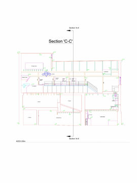


Boundary Survey & Land Registry Compliant Plans
Boundary Survey Drawings
We can carry out land registry compliant boundary surveys throughout the UK. It is always a good investment to have an accurate plan drawn prior to any dispute with a third party.
An accurate boundary plan is invaluable when selling off parcels of land or property. It can be used to define individual site boundaries for newly purchased land or property, these can also be used for clients who wish to split land or property. The survey drawings are carried out in accordance with land registry guidelines so that they are land registry compliant.

These plans can be annotated with measurements to existing structures or can be related to Ordnance Survey National Grid derived coordinates using our GPS systems. We can survey site boundaries using remote surveying techniques which allows us to gather boundary information without trespassing on neighbouring land. This helps to keep our site visits quiet and confidential.
When a survey is required, we will combine this with all the available information from sources such as deed plans and the Ordnance Survey historic and most recent mapping and establish the boundary to the best of our ability. The findings will then be presented to our client and if they are in agreement with their neighbours we can return to site and mark the boundary if required.
Work Examples


