
Land | Engineering | Utility Surveyors
Tel: 01637 856211
E:office@targetgeo.co.uk
3D Laser Scanning
3D Laser Scanning & Point Cloud Surveys
Through the use of state of the art equipment and software our expert surveyors have all the tools and knowledge required to produce highly accurate point cloud surveys. We provide a fast, cost effective field to finish solution!


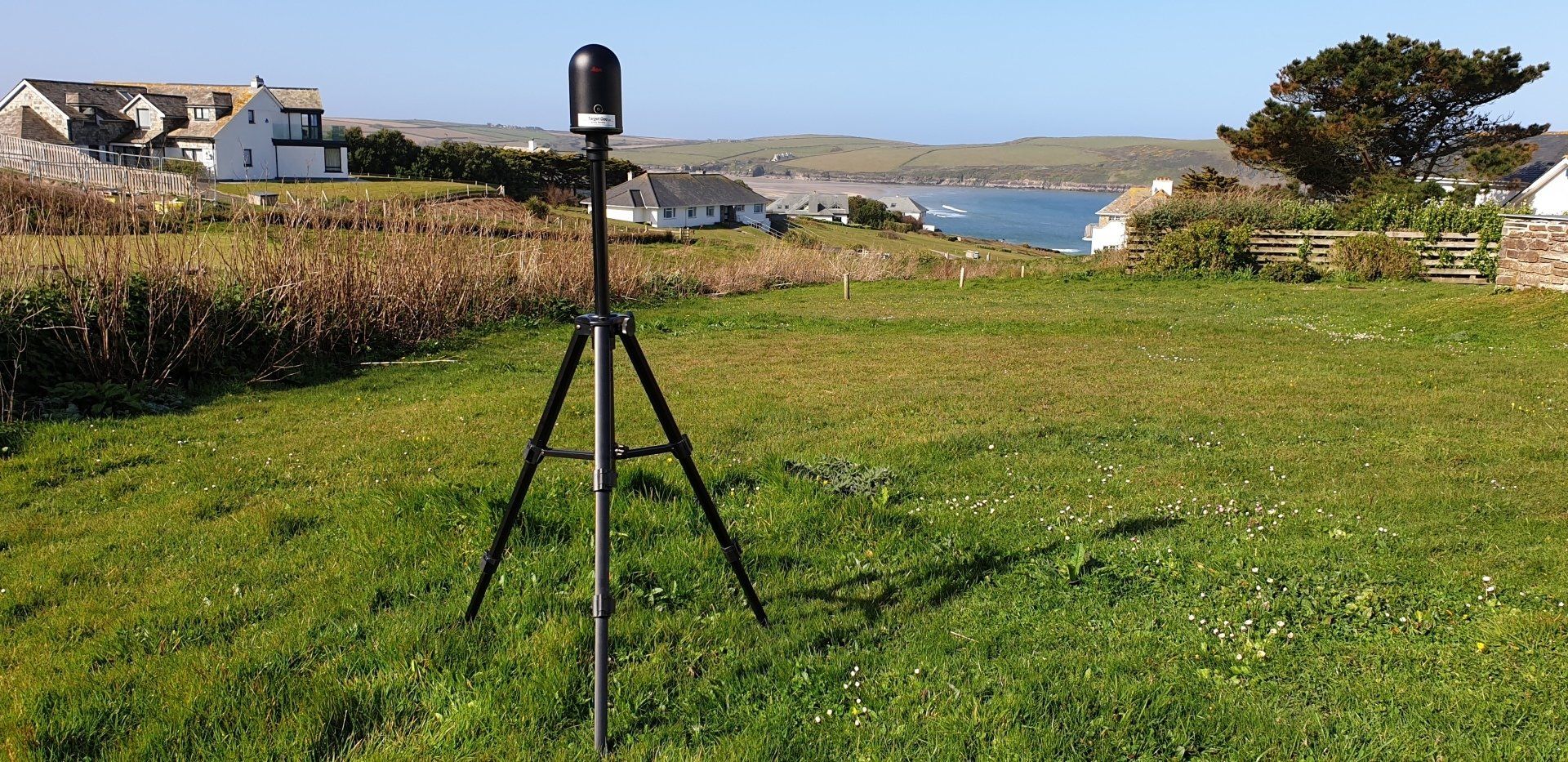


3D Laser Scan Surveys & Point Clouds
Surveys utilising laser scanners can capture environments by collecting millions of precise measurements in a matter of minutes. These measurements or vectors coordinates are then pieced together to form what is known as a “point cloud”. A Laser scanning survey is currently the most accurate and efficient form of reality capture.
Once this data is processed and placed in it’s correct positions it can be used for various forms of analysis. The overall 3D point cloud data can be viewed in free software or can be input into various software formats to produce further deliverables such as 3D models, topographical drawings, sections etc. We can provide point clouds in the following formats;
.RCP .E57 .PTS .PTG .PTX

